2019-1-29
Team DRONEII.com

Drone Applications Databook 2019

“We see great potential to boost efficiency and reduce costs through the application of drones in diverse industries. Early adopters will have a strong competitive advantage if they do it now and do it right.” – Kay Wackwitz, CEO Drone Industry Insights

Highlights

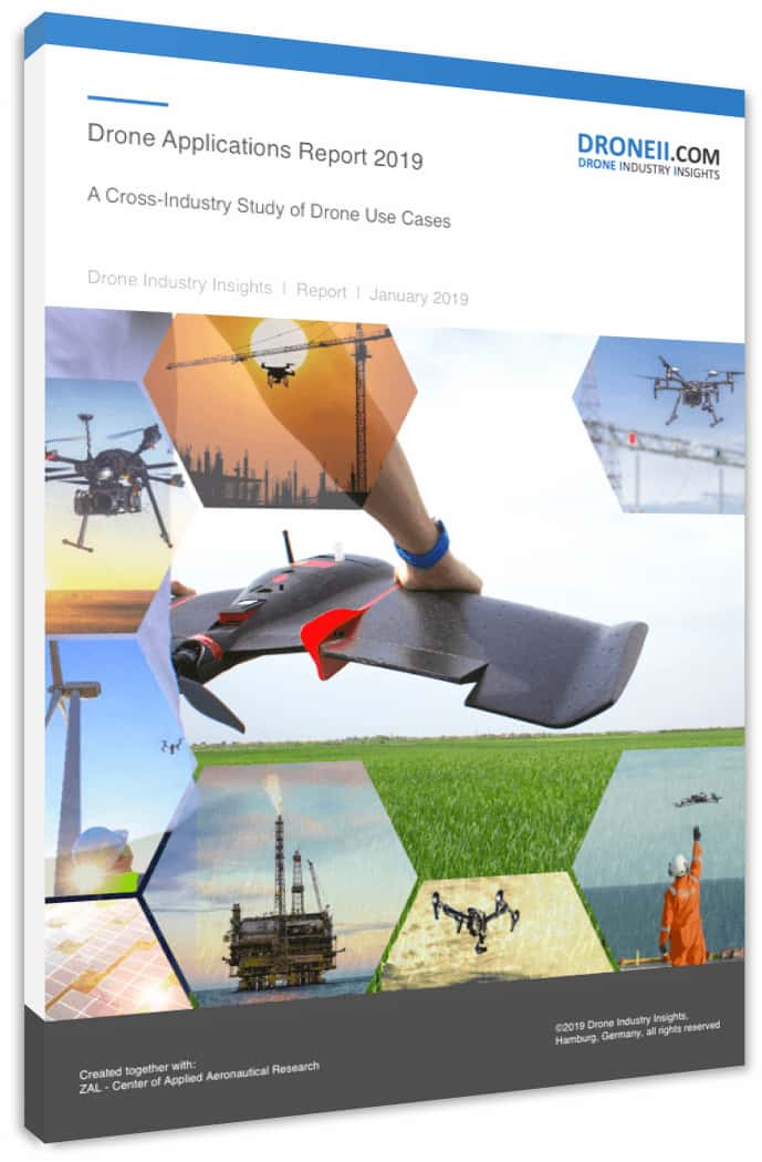
  • Energy and public administration are the industrial sectors using drones the most.
  • A quarter of all drone flights assessed here were for the purpose of inspections.
  • 74% of all flights are performed by multirotor drones.
  • Electro-Optical (EO) sensors are the most popular across all industries and applications methods of drones.
  • 43% of flights are short-area missions.

About the databook

This DRONEII databook provides the most comprehensive and structured database of drone application projects currently available. It is based on a thorough market study together with the ZAL Centre of Applied Aeronautical Research. Our analysists conducted primary research over several months and gathered 731 use cases, conducted in over 100 different countries and by over 80 different manufacturers, dated between 2004 and 2018.

The databook is easily manipulated to support your individual research needs and covers a full range of factors (listed below). The research summary contains a detailed expert synthesis and easy-to-understand graphs in order to show you the prevailing trends for 2019 when it comes to applications of drones in diverse industries (no reference to future trends or market shares included).

Table Of Contents

INTRODUCTION

TABLE OF CONTENTS

TABLE OF FIGURES

1. Database Overview

1.1 Use Cases by Countries
1.2 Use Cases by Year
1.3 Use Cases by Manufacturer
1.4 Use Cases by UAV Configuration

2. Industrial Sectors

2.1 Use Cases by Industrial Sectors
2.2 Application Methods by Industrial Sector
2.3 UAV Configurations by Industrial Sector
2.4 Sensor Types by Industrial Sector
2.5 Output Data by Industrial Sector

3. Application Methods

3.1 Use Cases by Application Method
3.2 UAV Configurations by Application Method
3.3 Sensor Types by Application Method
3.4 Drone Manufacturers by Application Method

4. Mission Definitions

4.1 Share of Use Cases by Mission Definition
4.2 UAV Configurations by Mission Definition
4.3 Industrial Sectors by Mission Definition
4.4 Mission Definitions by Application Method
4.5 Sensor Types by Mission Definition
4.6 Output Data by Mission Definition

GLOSSARY

Table Of Figures

Figure 1:   Overview of all considered Industrial Sectors
Figure 2:   Share of Use Cases by Country
Figure 3:   Share of Use Cases by Year
Figure 4:   Share of Use Cases by Drone Manufacturer
Figure 5:   Share of Use Cases by UAV Configuration
Figure 6:   Share of Use Cases by Industrial Sector
Figure 7:   Application Methods in Arts, Entertainment and Recreation
Figure 8:   Application Methods in Agriculture
Figure 9:   Application Methods in Construction
Figure 10:  Application Methods in Educational Services
Figure 11:  Application Methods in Energy
Figure 12:  Application Methods in Healthcare and Social Assistance
Figure 13:  Application Methods in Information
Figure 14:  Application Methods in Insurance
Figure 15:  Application Methods in Mining, Quarrying and Gas Extraction
Figure 16:  Application Methods in   Professional, Scientific and   Technical Services
Figure 17:  Application Methods in Public Administration
Figure 18:  Application Methods in Repair and Maintenance
Figure 19:  Application Methods in Real Estate, Rental & Leasing, and Industrial Plants
Figure 20:  Application Methods in Safety and Security
Figure 21:  Application Methods in Transportation and Warehousing
Figure 22:  UAV Configurations by Industrial Sector
Figure 23:  Sensor Types by Industrial Sector
Figure 24:  Output Data by Industrial Sector
Figure 25:  Share of Use Cases by Application Method
Figure 26:  UAV Configuration by Application Method
Figure 27:  Sensor Types by Application Method
Figure 28:  Drone Manufacturers by Application Method
Figure 29:  Share of Use Cases by Mission Definition
Figure 30:  UAV Configurations by Mission Definition
Figure 31:  Point Missions by Industrial Sector
Figure 32:  Linear (Short) Missions by Industrial Sector
Figure 33:  Linear (Long) Missions by Industrial Sector
Figure 34:  Area (Small) Missions by Industrial Sector
Figure 35:  Area (Large) Missions by Industrial Sector
Figure 36:  Mission Definition by Application Method
Figure 37:  Sensor Types by Mission Definition
Figure 38:  Output Data by Mission Definition

DOWNLOAD FREE PREVIEW

Request A Sample

I give my consent to the storage of my data in order to receive the newsletter.

To see what you can expect from this databook and the research summary feel free to download a sample. If you have specific questions, please reach out: sales@droneii.com

TRUSTED BY

Trusted-by-Logos-comp (1)

WHY BUY FROM US

TRUSTED
We deliver clear and actionable information – always proficient, rigorous, and independently researched.

EXPERTISE
We focus all our attention on the commercial drone market, to help you understand what is really going on now, and in the future.

BUSINESS SUCCESS
Our reports will provide you with unique and world-leading insights to drive your drone innovation and business success.

INSTANT KNOWLEDGE
Buy now and you will have immediate access to the information you need to make better decisions. Now.

BUY THE REPORT

 999.00

Download Icon
  • Databook with 731 use cases
  • 30-page report analyzing and contextualizing the trends within the database
  • The Drone Environment Map 3.0 & database
  • 1hr of consulting with our CEO
Out of stock
Logo-Payment-comp-1024x89 (1)
Go to Top